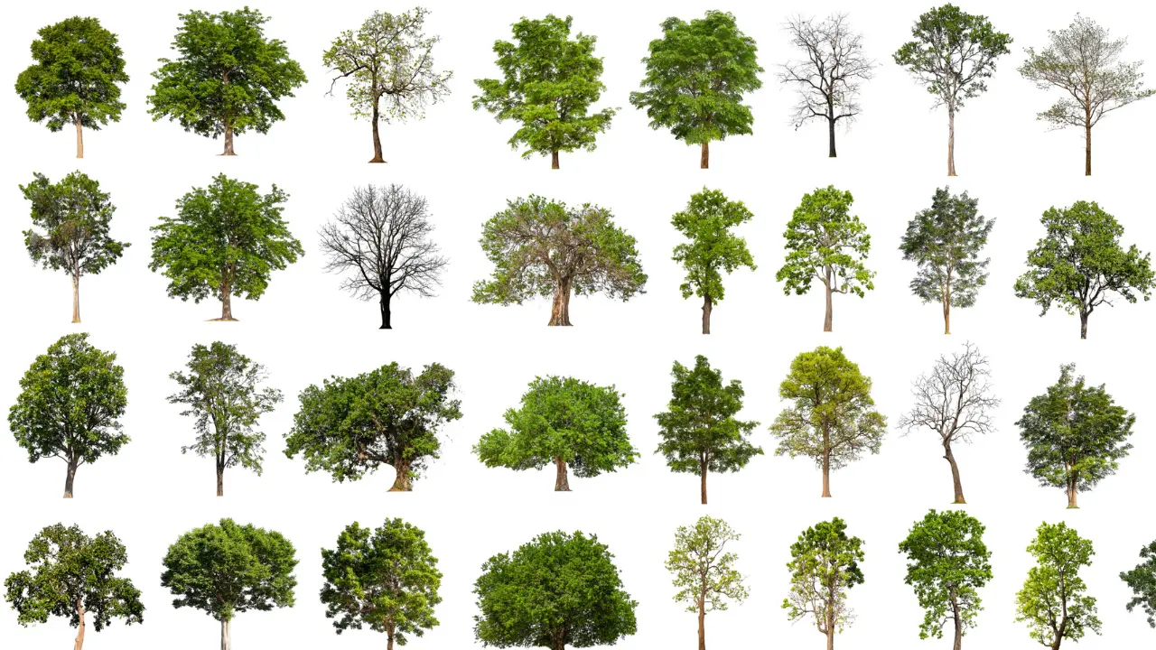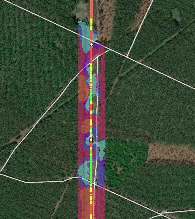
Identifying tree species using satellite imagery has become a game-changer for utility vegetation management, offering precision and efficiency in managing risk and maintaining infrastructure.
Knowing what kind of tree grows where is crucial for several reasons: it helps determine high-risk species with rapid regrowth rates, control invasive species, and differentiate between softwood and hardwood for better work and cost planning.
Combined with tree health monitoring, which LiveEO also offers, this technology enables the identification of risk trees before any damage occurs.
How does it work? Leveraging Advanced Technology
AI-Powered image detection has improved significantly over the past years. Many let their phone scan their face to unlock it. Apps like Google Lens allowed you to identify flowers by taking a photo of their leaves.

Facial recognition to unlock the screen is a standard feature on many modern mobile phones.
Interestingly, despite the principle of recognizing objects from images being the same, tree species detection with satellite imagery works a bit differently. It is theoretically possible to identify tree species based on features like the canopy structure, the tree size, or the branch density - things you can see on a photo in other words. But one would require much higher-resolution imagery to do so reliably.
Satellites see more
Instead, we make use of the unique chemical properties of each vegetation species.
The composition of the leaves in terms of water content, photosynthetic pigments, and structure cause them to reflect light differently. For human eyes and conventional cameras, this results in slightly different shades of green, which are still extremely hard to distinguish, even for computers. Satellites, however, see more.
Bees, not unlike satellites, see more than humans. (check out this video from PBS Studios)
You might have heard of bees seeing flowers differently than we do because they can see more into the ultraviolet light spectrum.
Satellites, in that respect, are very similar.
Satellite constellations like Sentinel 2 feature 13 spectral bands, allowing them to capture a lot broader set of wavelengths than the human eye would (or a bee’s vision, for that matter).
Every Tree has a multispectral Fingerprint
For every band of wavelengths, different plants have a different specific reflectance.
When combining all information from all bands, one can create a unique fingerprint of reflectances for each plant and thus identify them.

Of course, there are limiting factors that potentially influence the analysis. The reflectance of the underground beneath the tree may cause distortion.
Drought could lead to lower-than-usual water content in the leaves.
LiveEO offers market-leading Detection Accuracy
For this reason, extensive training of the machine learning algorithms used with validated training datasets of the species is necessary.
LiveEO has conducted tree species identification analyses with several utility customers in Europe and North America. As a result, our models have reached market-leading levels of accuracy.
If you would like to know more about the different features of our vegetation management solution, including tree species identification, please get in touch!


