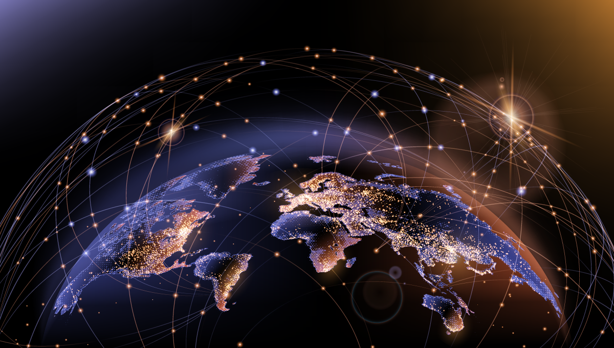

Global issues need global solutions. Global questions need global answers. Global answers require global data sets, data sets from space. Here’s why satellite analytics could be one of the keys to living more prosperous and sustainable lives.
Satellite data is available in abundance today. When made usable by data analytics companies such as the one I founded, LiveEO, it sits at the intersection of three megatrends: digital transformation, globalization, and sustainability.
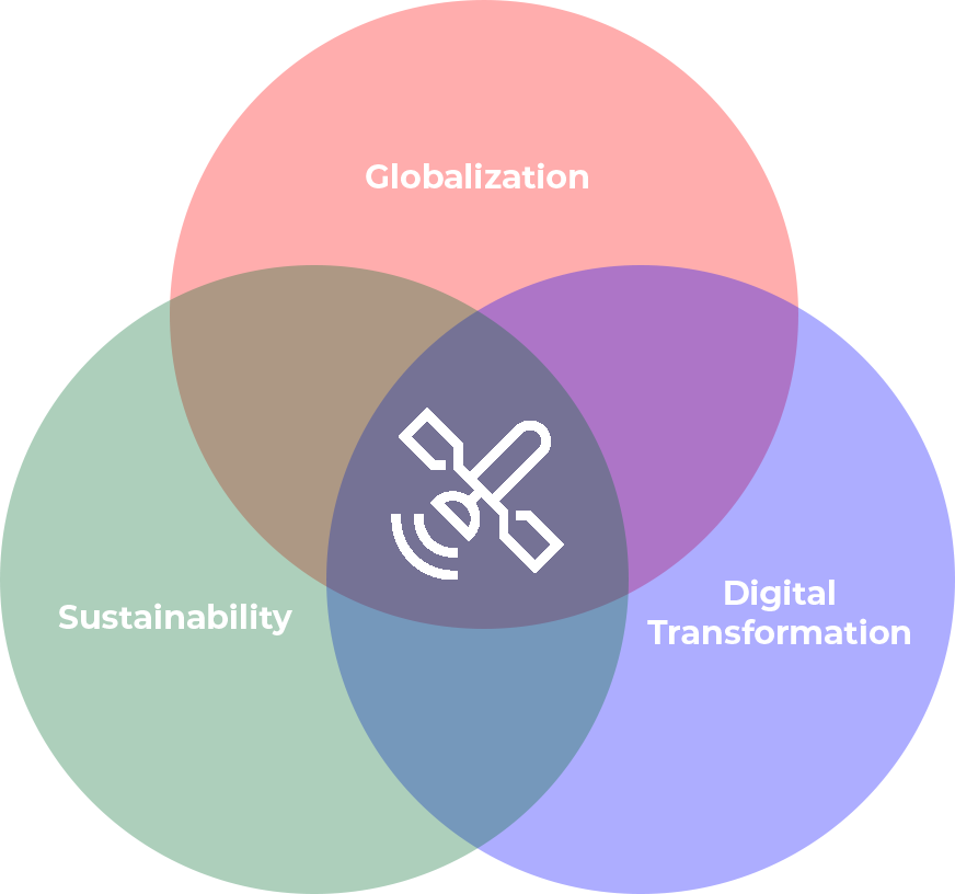
This dataset analyzed and put to use can have a major positive impact on productivity and can reduce the use of resources through improving efficiency. Sustainability, globalization, and digitalization are interconnected, and satellite analytics play a key role in each of these areas. To make it more tangible, I will dive deeper into each area.
Digital Transformation & Automation
Across the globe, processes are being digitized to make them more efficient and robust. Automation in and out of the office and factories is progressing rapidly. But how do you automate processes when you don't have any data?
This is where satellite data comes in. Satellites record information regardless of the location’s remoteness, accessibility, and digital infrastructure. They add an additional layer of global data that satellite analytics companies translate into information ready for your computers to analyze. In other words, they use satellite data to digitize the surface of the Earth. These insights can be used in digitized processes to automatically trigger actions based on conditions on the ground, including any changes that occur.
For example, satellite data can be used to identify external threats to assets and trigger the removal of these threats, all without an initial (manual) on-site evaluation. This can drive efficiency and productivity gains — important not only from a sustainability point of view but also from an availability point of view, especially in a time when we are seeing significant labor shortages across the Western world.
Globalization
The world is interconnected. The current supply chain challenges that manufacturers are facing globally are the best example of how fragile our global economy really is.
Companies from Europe need batteries produced using raw materials coming from South America and Africa, manufactured in China, and shipped through different sea straits for delivery.
On this journey — over thousands of kilometers with hundreds of stops — a lot can happen. Supply chains can get interrupted, capacities may change, or a myriad of other contingencies may occur. One option to deal with these potential threats to supply chain reliability is to “localize”: moving the entire value chain in geographical proximity to the final destination. But it is not always efficient or even possible. To operate at maximum economic efficiency, geographical division of labor is sometimes simply the best option.
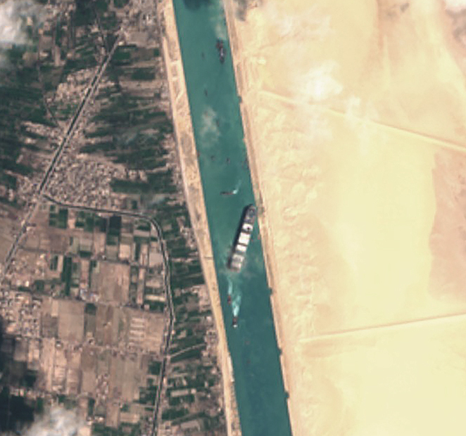
Stuck and everybody's watching.
Satellite data is global. It can help to secure processes and supply chains. Satellite data can help the various stakeholders to gain visibility of the different steps in the process from mining to production sites and through to transport. Satellite data can continuously monitor interruptions and changes, helping the stakeholders to mitigate risks and limit their effects.
The case of the container vessel Ever Given that was blocking the Suez Canal in 2021 is a prime example of how satellite data can give clarity and updates about a remote situation along the supply chain.
Sustainability
Sustainability has emerged as the most important challenge of the 21st century. How we treat our planet’s resources today will make a difference for all the future generations of humanity.
How can satellite data support us in being more sustainable? On the one hand, satellite data can help to use the resources we already have more efficiently and effectively (see above). On the other hand, satellite data can also help to keep all stakeholders in check when it comes to the sourcing and production of materials and goods, for example in mining. How can we make sure that all the lithium that is used in our electric vehicles is mined in a sustainable and environmentally acceptable way? Only with full transparency. Full transparency is one of the many benefits satellite data can provide since it is captured remotely and independently. Thanks to analyzing this data, third parties like governments and NGOs can hold all actors within these processes accountable.
Overall, I am (for obvious reasons) bullish on satellite data and I am convinced that satellite data will play an important role on a path to a better, more sustainable, and more efficient future. I would love to hear what your thoughts are on this topic! Feel free to reach out via sven@live-eo.com.