Ground Movement Insights
Monitor ground movements with millimetre precision
With satellite data, you can monitor for ground deformation along your ROW and in the surrounding area, with such precision that offers a fast, efficient and eco-friendly way to monitor the environment around linear infrastructure, such as electrical grids or rail networks.

Ongoing high-accuracy ground monitoring
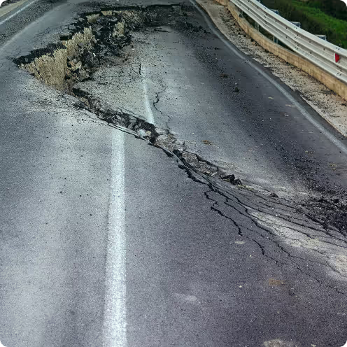
Using data from SAR satellites, our ground movement solution monitors the Earth’s surface for even the smallest changes. By creating a detailed ongoing picture of all ground deformation near your assets, we can warn you of any potentially threatening movement long before it becomes visible to the naked eye.

Your entire grid all at once
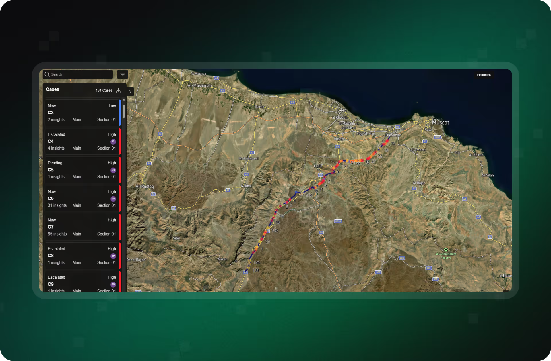
Get a continuous updates on long and short-term ground movement for any area, directly to your desktop.
Spot trends early
Understand which movements really matter and act early to pre-empt damage, thanks to frequent updates and historical trend analysis.


End-to-end digital workflow
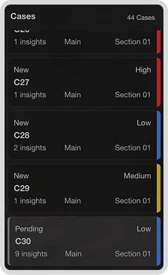
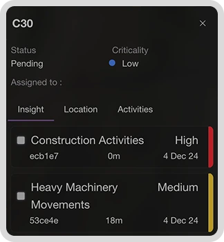
Identify threats, assign inspection orders and track progress all in the same LiveEO application, with full SAP and Esri ArcGIS integration.
Find out more or ask for a demo
Talk to our ground deformation experts!
Pipeline
Protect your assets: target subsidence or slippage areas before they become a problem.

Railway
Track soil erosion in real time to optimize interventions and minimize disruption.

Electricity
Keep your grid on a solid foundation by preventing ground-related infrastructure degradation.

Download our Ground Deformation Insights case study

Ontras Ground Movement Case Study
Talk to one of our product specialists
Our other solutions
3rd party detection
Our Change Detection algorithms identify Third Party Activity timely so that you can act before your asset takes damage.

Storm damage reports
Our Change Detection algorithms identify Third Party Activity timely so that you can act before your asset takes damage.

Other stories