
Power grids serve as the backbone for ensuring a continuous and reliable supply of electricity, especially crucial in the face of escalating global demand.
However, power utility companies are confronted with a constant threat to the resilience of their infrastructure – overgrown vegetation interfering with power lines, potentially triggering outages, wildfires, and safety hazards.
In response to this ongoing challenge, modern utilities are increasingly adopting advanced remote sensing technologies in their operations.
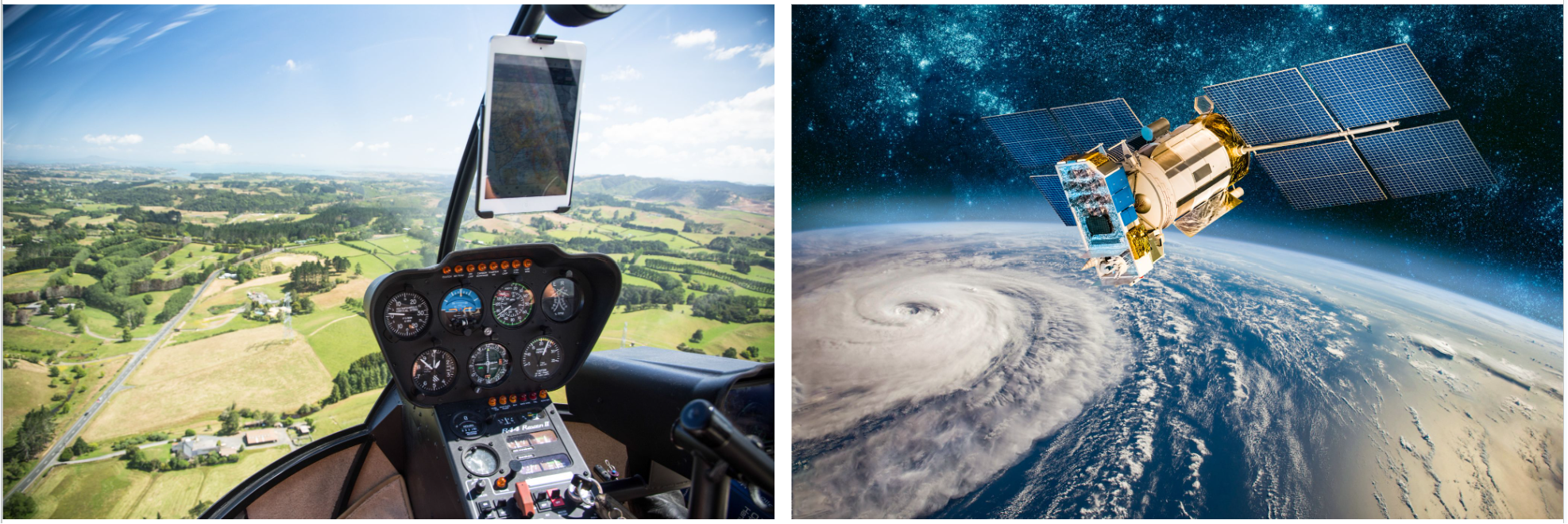
In this domain, two technologies particularly stand out: LiDAR (light detection and ranging) and satellite imagery.
Each possesses unique advantages, making them indispensable tools for utility vegetation management (UVM).
This article series explores the exceptional capabilities of satellite imagery and LiDAR, emphasizing why utilizing both is essential for UVM.
By combining their strengths, utilities can achieve a more comprehensive approach to addressing potential threats to the power grid, ultimately enhancing overall safety and reliability.
LiDAR and Satellite Data: Key Differences
The strength of LiDAR lies in precision. With its active sensing capabilities using laser pulses, LiDAR offers high-resolution, three-dimensional data,making it ideal for detailed assessments of vegetation height, structure, and proximity to power lines.
LiDAR excels in capturing fine-scale information, allowing for a more granular understanding of the vegetation landscape. It proves particularly valuable in detecting subtle variations in vegetation density, which can be critical for preemptive identification of potential threats to power infrastructure.
{{inline}}
However, LiDAR's effectiveness may be limited by factors such as cost and accessibility, impacting its coverage and frequency.
In contrast, satellite imagery provides a broader, more comprehensive view of large geographical areas. Satellites offer regular and systematic data acquisition over expansive territories, enabling utilities to monitor vegetation on a larger scale.
Beyond this, satellites are capable of detecting changes in vegetation health, identifying areas of concern, and assessing the overall condition of the vegetation surrounding power lines.
Additionally, satellite imagery can be useful for monitoring vegetation dynamics, which is crucial for developing long-term vegetation management strategies. However, satellite imagery may lack the fine-scale resolution of LiDAR, potentially missing detailed vegetation features.
In Part 2, we will explore five strategic ways you can combine LiDAR and satellite data to enhance your utility vegetation management program.