We Integrate With The Systems That Power Your Business
LiveEO integrations bring AI-powered satellite insights into the systems you trust so you can act right away, not toggle between platforms.

Trusted by Leaders Worldwide


Bring LiveEO Insights Into the Tools You Already Use
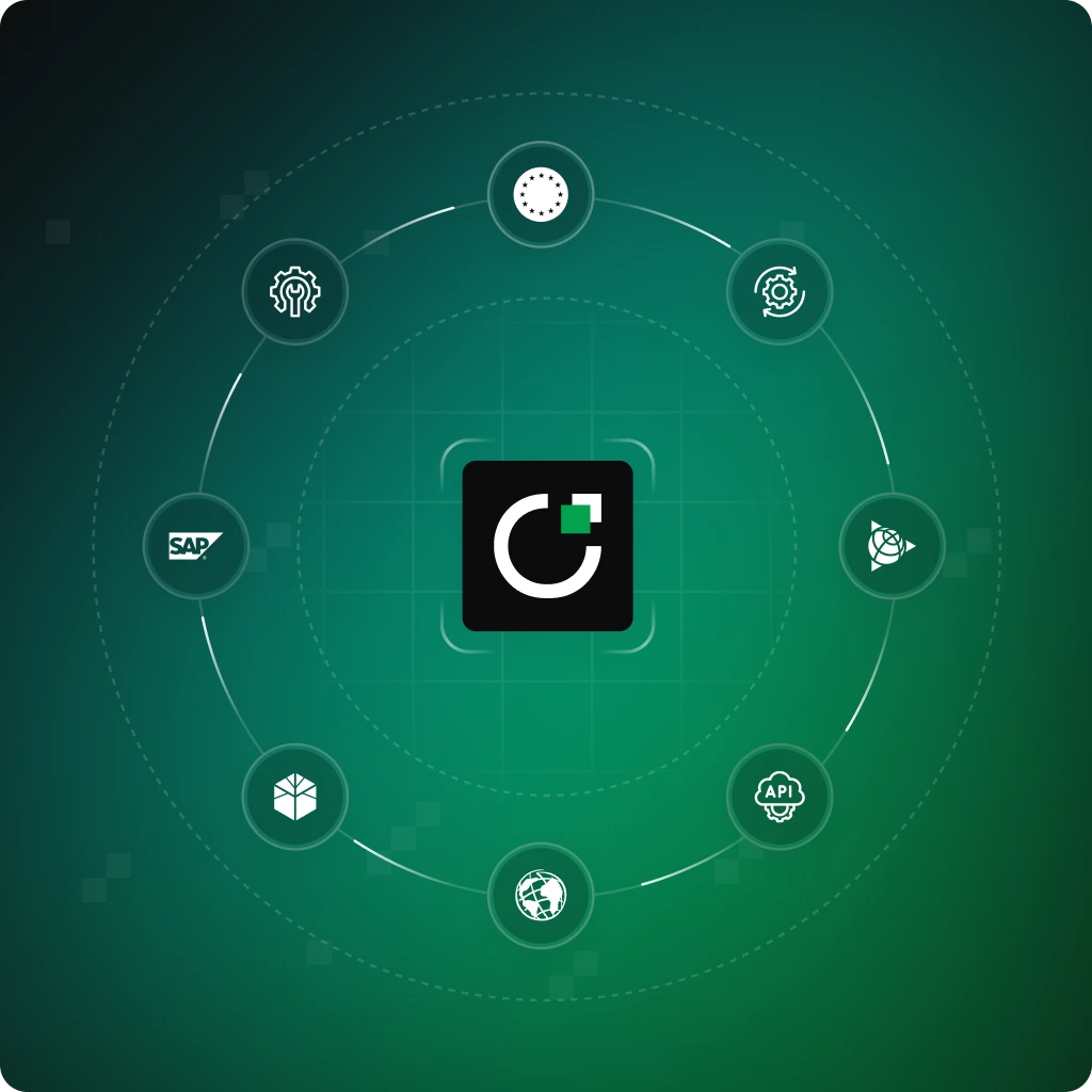
Our products integrate seamlessly with the platforms your teams rely on every day. Browse available integrations and see how easy it is to operationalize remote sensing and AI insights.

Your ERP System
Seamlessly connect TradeAware with your ERP system to streamline compliance management, automate supplier due diligence, and ensure accurate and timely reporting, all directly within your existing business workflows.

EU TRACES Integration
TradeAware integrates with EU TRACES, enabling effortless submission and management of your due diligence statements. Automatically link shipment and supplier data directly to TRACES, ensuring continuous compliance and simplifying your EUDR processes.

Flexible API Integration
Leverage TradeAware’s robust and flexible API to integrate seamlessly with virtually any procurement, supply chain, or custom enterprise application. Automate workflows, enhance supply chain visibility, and build tailored solutions to meet your unique business needs.

SAP Integration
Effortlessly integrate Treeline with your SAP environment for streamlined vegetation management. Automate data exchange and task scheduling, ensuring your enterprise resource planning stays accurate and efficient.

ESRI Integration
Combine Treeline’s powerful insights with ESRI’s advanced GIS capabilities. Visualize vegetation risks in real-time, enhancing your decision-making with precise spatial analysis and actionable data.

Trimble Integration
Connect Treeline insights directly to Trimble’s precision GPS and field management solutions. Enable accurate field actions and real-time updates, boosting operational accuracy and field-team productivity.

Clearion Integration
Seamlessly integrate Treeline with Clearion's advanced field work management platform. Automate job scheduling, streamline inspections, and simplify compliance tracking. Empower your crews with real-time, map-based insights on any device.

Custom API Integrations
Tailor Treeline to your unique infrastructure needs with custom integrations via robust APIs. Effortlessly connect and automate workflows, maximizing efficiency and data accuracy.
Built to Plug Into Your Ecosystem
From ERP to asset management systems, connect LiveEO’s satellite-powered risk intelligence directly into your daily workflows for faster decisions, fewer manual tasks, and higher confidence.
Trusted by the Teams
That Face Risk Every Day
Our customers manage high-stakes operations across grids, corridors, and supply chains. Here’s how LiveEO supports their work.

“Partnering with LiveEO allows us to establish a platform for gathering information from our suppliers, validating it, storing it, and ultimately sharing it with our customers in a form that is easily submitted to the EU TRACES system. Reaching that decision was a milestone moment in the project.”


"The LiveEO technology gives us a better overview of the vegetation along our tracks. It allows us to address the consequences of climate change even better."


“Westerville Electric went with LiveEO and our outage rate in 2022 was 18%. We are now at 10%. This is the future of vegetation management!”


"The possibility to check our network with satellite images and AI as well as the strong customer focus of LiveEO have excited us from the beginning. Innovative partners like LiveEO and new technologies are an important pillar for us as a grid operator to make our network even more efficient and reliable."

FAQs
Curious how LiveEO sources satellite data, applies AI, or integrates into your systems? This section addresses the key things teams typically want to know when evaluating our solutions.
What does LiveEO do?
LiveEO provides AI-powered products that transform satellite data into actionable insights. Our solutions help enterprises monitor and mitigate risks across infrastructure networks and global supply chains, covering vegetation encroachment, third-party pipeline interference, and deforestation exposure.
Who is LiveEO for?
We serve enterprises with complex infrastructure or global supply chains, such as utility providers, oil & gas operators, and commodity buyers, who need scalable, cost-effective ways to manage operational, environmental, and regulatory risks.
How does LiveEO use satellite data?
LiveEO taps into a global network of satellite providers, combining high-resolution and frequent imagery with proprietary AI models. This allows us to detect real-world changes, like tree growth, illegal land use, or construction near pipelines, and translate them into business-ready insights.
What kinds of risks can LiveEO help me detect?
Depending on the product, LiveEO helps identify:Vegetation risks near critical infrastructure (e.g., power lines)Third-party activity or land movement near pipelinesDeforestation and non-compliance across complex supplier networks
Is LiveEO a single platform?
LiveEO offers a suite of tailored products, Treeline, SurfaceScout, and TradeAware, each purpose-built to address specific risk domains while sharing a common satellite-AI foundation.


