

About the partner
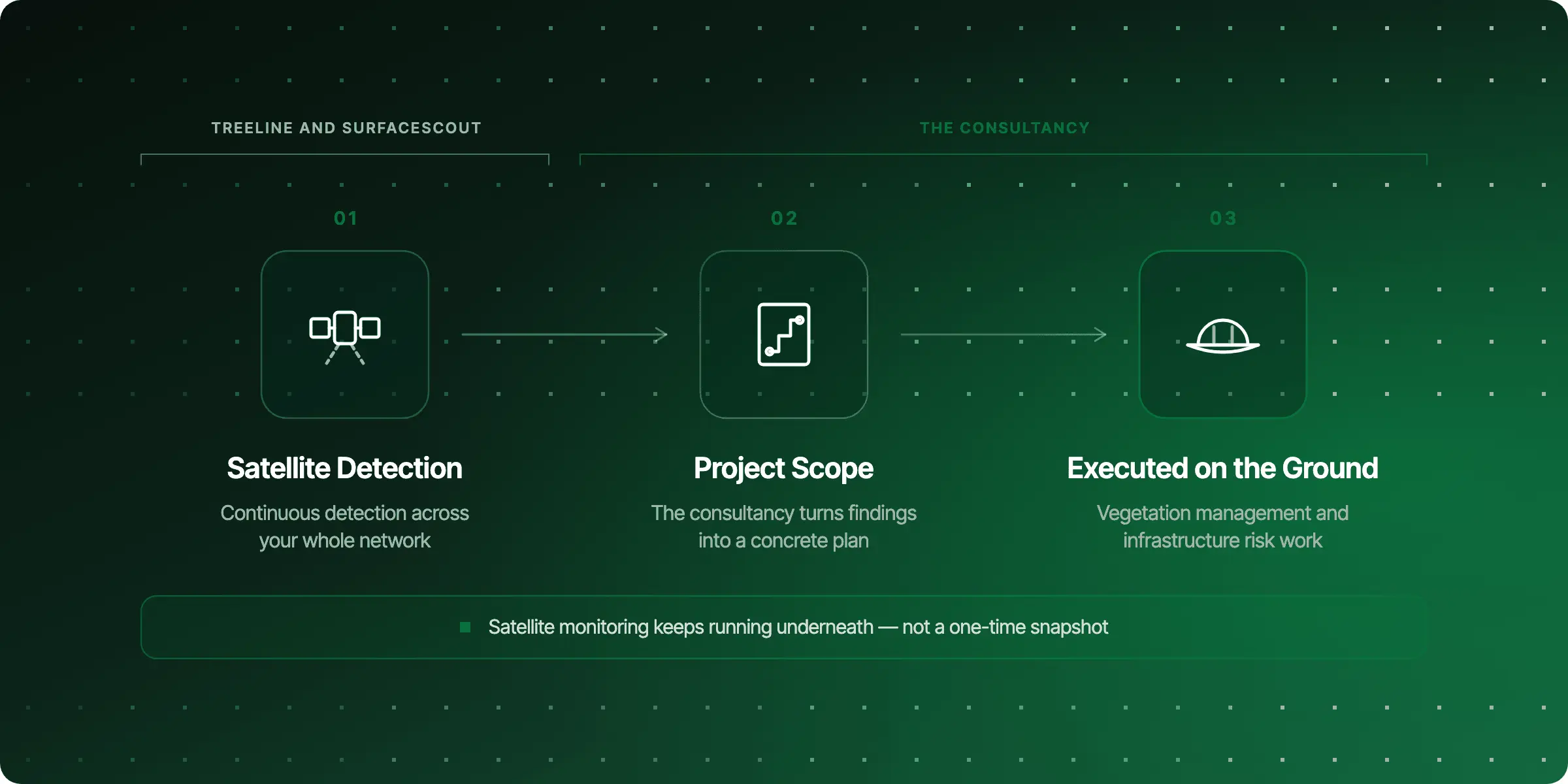
Energy and geospatial consultancies build projects around our satellite insights, turning detection into a concrete plan of action for your network. They bring the on-the-ground project scope; we bring the ongoing monitoring underneath it.
How we work together
Consultancies use Treeline and SurfaceScout data as the foundation for the projects they scope and deliver for you, from vegetation management plans to infrastructure risk assessments. The satellite data keeps updating in the background, so their recommendations stay grounded in what's actually happening on your network, not a one-time snapshot.
This is a good fit if you need more than data, you need someone to turn that data into a plan your team can execute.
What our partners say
Partnering with Live-EO is something unique to Furaha Tanzania Limited. This is due to the fact that Live-EO Technology ( Satellite and AI Powered tools) did not exist in Africa Market. Being part of this technology revolution for infrastructure Monitoring in Africa makes Furaha Tanzania Management feels proud. - Seth Masalu, Managing Director , Furaha Tanzania Limited.
Whichever consultancy you work with, the underlying satellite monitoring keeps running so their plan stays current.
Talk to our experts
Curious how a geospatial or energy consultancy could turn our insights into a project plan? Our team can walk you through it: