
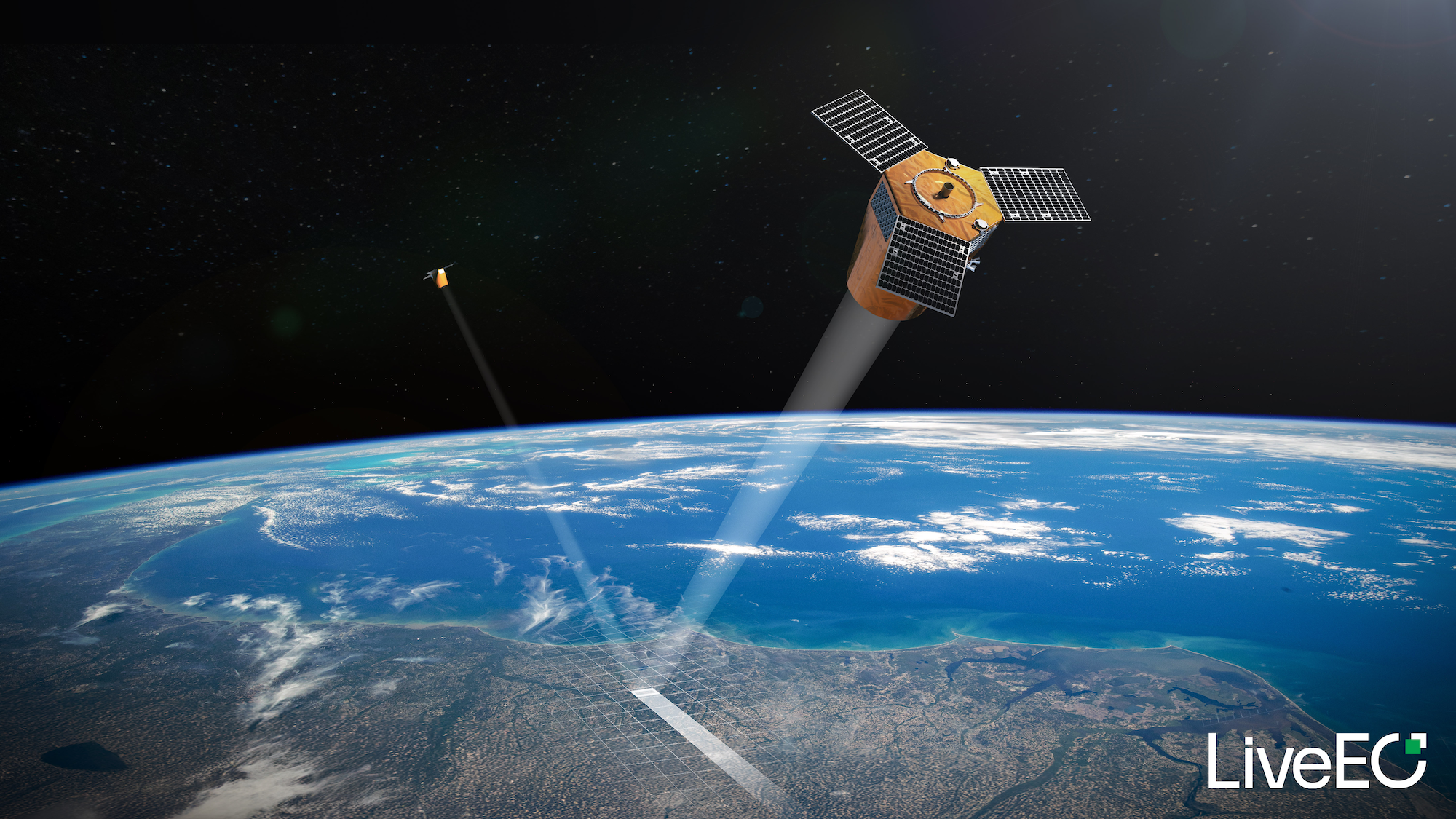
Twinspector. The First Satellite Constellation Built for Infrastructure Monitoring
Twinspector is LiveEO’s upcoming purpose-built satellite constellation designed specifically for monitoring critical linear infrastructure such as power grids, railway networks, and pipelines.
With independent access to high-quality Earth observation data at scale, infrastructure operators will gain faster risk insights, higher confidence in compliance, and a future-proof foundation for resilient infrastructure operations.
Planning for Scale, Reliability, and Continuity
As infrastructure networks expand and regulatory expectations rise, operators need monitoring programs built for long-term reliability. Yet limited access to high-resolution 3D data and fragmented satellite ecosystems make it difficult to scale monitoring with confidence.
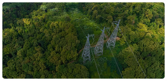
Limited Access to High-Resolution 3D Data
High-resolution 3D satellite imagery suitable for commercial infrastructure monitoring is scarce and inconsistently available. This limits the ability to measure vegetation height accurately and assess encroachment risk at scale.
Fragmented Data and Analytics Ecosystems
Satellite imagery and analytics are typically delivered by different providers. This lack of an end-to-end solution creates fragmented workflows, added integration effort, and uncertainty around long-term data continuity.
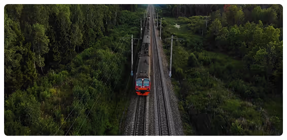
Unpredictable Coverage and Revisit Schedules
General-purpose satellite systems are not optimized for infrastructure corridors. Inconsistent revisit patterns and variable data quality reduce the reliability of monitoring across large rail and power networks.
Monitoring Programs That Don’t Scale Long-Term
As networks expand across regions and borders, operators need monitoring programs designed to last for decades. Many current solutions struggle to scale reliably, increasing operational risk as regulatory and climate pressures grow.
How Will It Work?
Unlike general-purpose Earth observation satellites, Twinspector is designed for rail and power line corridors from the ground up.
A pair of satellites will fly in formation to generate high-resolution 3D stereo imagery, enabling precise vegetation height measurement and early detection of encroachment risks across large service territories.
By operating our own constellation, we will control the entire data supply chain: from image acquisition to AI-driven insights, ensuring consistency, availability, and long-term reliability for infrastructure operators.
Built for Operational Reliability at Scale
Twinspector will deliver clear, tangible advantages:

Consistent, Guaranteed Coverage
Twinspector will provide dedicated capacity for monitoring of critical infrastructure (e.g. electrical grids and railway networks), reducing dependency on third-party satellite availability and ensuring reliable revisit schedules across large networks.
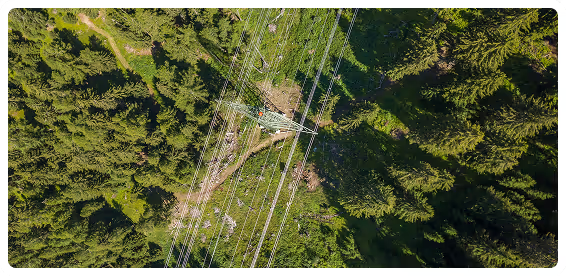
More Accurate Risk Detection
Stereo-based 3D imagery will, among others, enable precise vegetation height and clearance measurements, improving the detection of grow-in, fall-in, and encroachment risks, especially beyond the right-of-way.

Faster, More Predictable Insights
With exclusive capacity and onboard processing, data delivery timelines will be shorter and more predictable, supporting timely planning and operational decisions.
Up to 5× More Operational Capacity
Compared to traditional satellite constellations not designed for 3D infrastructure monitoring, Twinspector will deliver significantly higher usable capacity for vegetation and corridor analysis.
Built for the Long Term
Twinspector reflects our commitment to building resilient, future-ready infrastructure monitoring, designed around the real operational needs. Interested in how LiveEO supports vegetation and corridor monitoring today, and how Twinspector fits into the roadmap?
FAQs
Have questions about Twinspector’s availability, roadmap, or how it fits into LiveEO’s existing solutions? This FAQ answers the most common questions.


Is Twinspector available today?
No. Twinspector is currently under development and is planned to become operational in the coming years.
Is Twinspector a standalone product?
Twinspector is not a standalone product. It is a foundational capability being developed to strengthen LiveEO’s existing solutions, including Treeline for vegetation management.
By pairing dedicated satellite data with LiveEO’s AI models, Twinspector will enable:
- Earlier and more accurate vegetation risk detection
- More reliable vegetation height measurements across entire corridors
- Scalable monitoring across thousands of kilometers
- Stronger compliance reporting and audit readiness
The result will be higher confidence, fewer blind spots, and better decisions at scale, without requiring customers to change systems or workflows.
Do customers need to wait for Twinspector to use LiveEO solutions?
No. LiveEO’s products are fully operational today using existing satellite data sources. Twinspector will enhance these solutions in the future.
Why announce Twinspector before it is operational?
Infrastructure monitoring is a long-term commitment. Twinspector demonstrates LiveEO’s investment in securing future data availability, quality, and scale for customers planning multi-year programs.
Will customers need to change systems or workflows?
No. Twinspector is designed to integrate seamlessly into LiveEO’s existing platforms and workflows.
How does this impact long-term contracts?
Twinspector strengthens LiveEO’s ability to support long-term partnerships with predictable service levels and future capacity tailored to infrastructure needs.