
See the vegetation risk on your lines.
Today.
Treeline is satellite-based vegetation management software for utilities: a live map of the vegetation along your network, the risk it creates, and the work orders to clear it. Treeline Essential provides insights within one day. Curious? Let's have a chat and we will show you your vegetation risk. On your grid. Nothing required from your side.
Trusted by Leaders Worldwide




















Treeline Essential - see vegetation & wildfire risks today
Trees are the largest single cause of outages on overhead networks. Treeline uses satellite imagery to show you where vegetation threatens your lines, ranks it, and turns it into work your crews can do — in one system, for the office and the field.

See what is growing along your lines
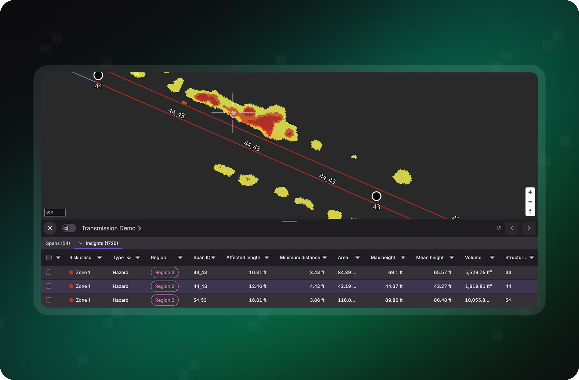
Satellite imagery is turned into a map of the vegetation along every span of your network — with the terrain that makes access hard, live wind and rain, and how dry the fuel is.

Decide what to deal with first
Sort the network by what drives risk for you, region by region — or just ask the built-in assistant a question in plain language instead of waiting on a report.

Get the work done
Work order management is part of Essential, not an add-on. Raise work on the map, send it to your crews in the mobile app, and keep a record of what was cut and where — or push it into the systems you already run through the API.

“Using Treeline, I can request the data and hit the ground running before there’s a lot of change in the environment. The app is visual, it’s quick, and it has a different risk color depending on the distance away from the conductor.”


From satellite image to work order, on day one
Everything it takes to run vegetation risk analysis is here on day one: your network mapped, the vegetation along it, the weather & wildfire conditions moving over it, and the work orders to act on all three.
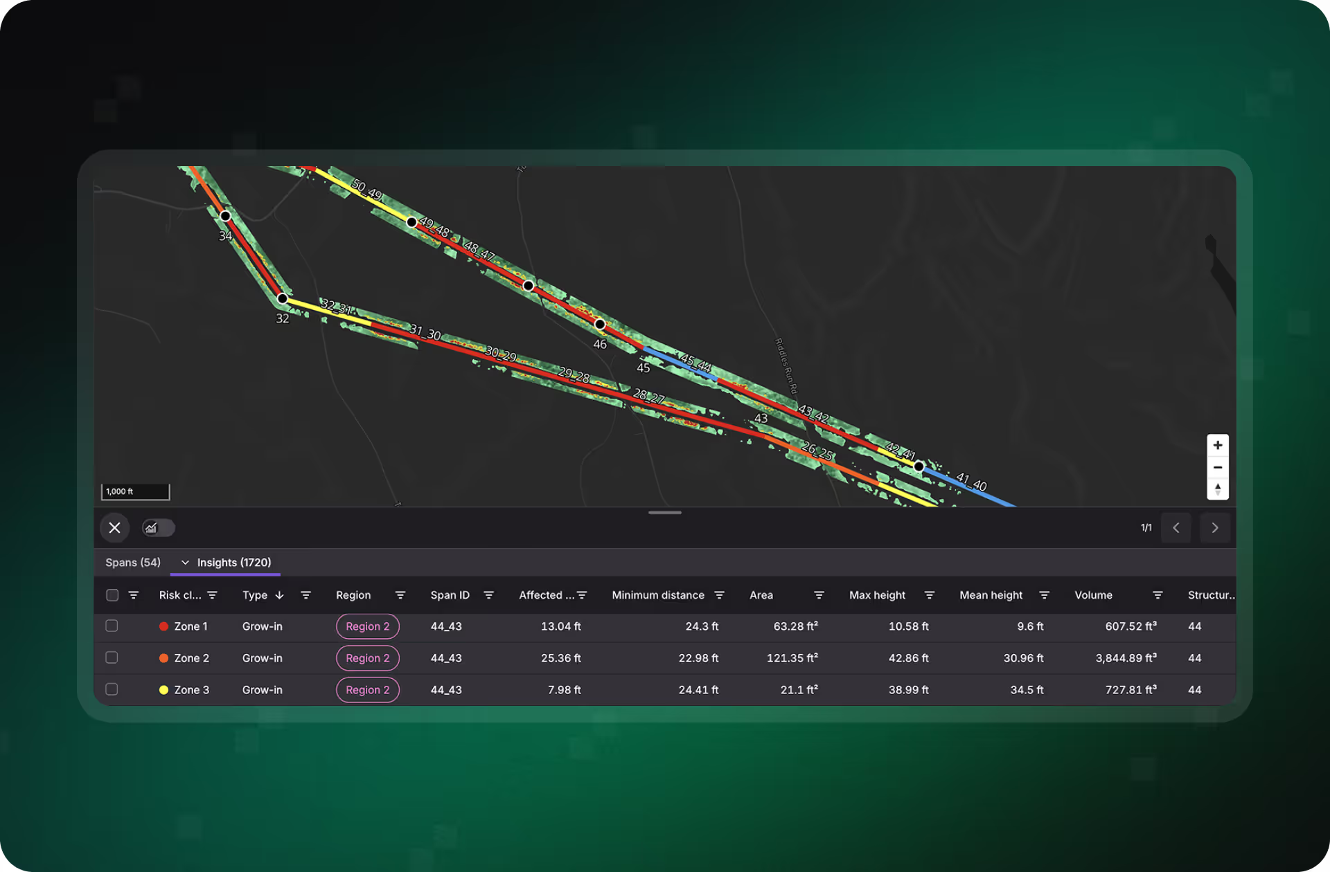
See which feeders actually have trees near the line and which are clear, so crews stop driving clean spans.
- Clear span analysis across the whole network, not a sample
- Built from archive imagery
- Extent and exposure at network scale, within one day
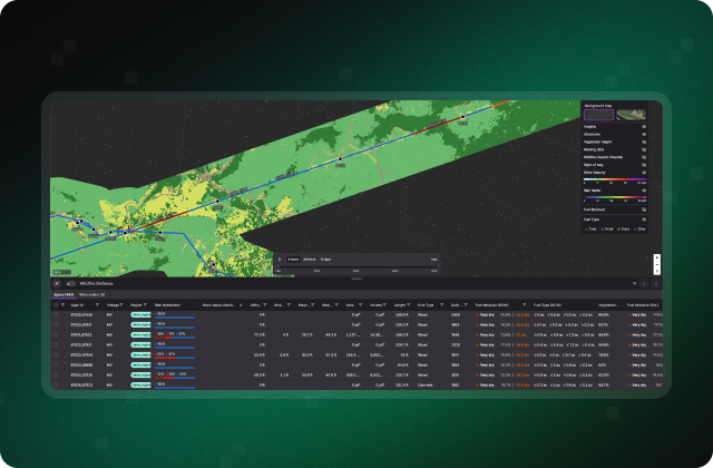
Live wind and rain beside your grid, so you can plan around the risky days instead of reacting to them.
- Wind and rain radar over your own network
- Wildfire hazard potential layers across your territory
- Wildfire Defense — fuel type and live fuel moisture, included for the first year
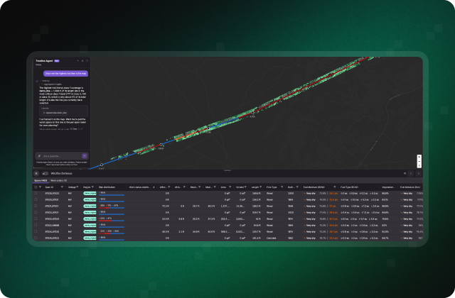
Plain-language answers about your own network, in the meeting — no analyst, no report cycle.
- Ask in plain language and get the answer with the data behind it
- Runs on your network from the first session
Poles and lines built from public asset records, so there is something to hang all of this on today.
- Nothing required from you to get started
- Where the public record is thin, we show you where
- Replaced by your own asset data whenever you want it
See Treeline Essential on your grid.
Request a demo and we will show you Treeline Essential on your own network. No input needed from your team.
Treeline Essential - wherever your vegetation management program is today
Whether you're starting from spreadsheets and windshield patrols, working around a system you can't replace, or running a program you'd like a second opinion on, Essential does a different job for you — and all three start the same way: your own network on screen, within one day.

You manage vegetation on spreadsheets and patrols
A complete first system at low cost: know where the trees near your lines actually are, decide where to send the first crew, and keep a record of the work.

You already have a vegetation management system
Sits beside the incumbent, not instead of it: wildfire and weather context, an assistant you can question, and a second read on where the vegetation actually is.

You want to judge it on your own grid, not a slide
See whether your program is looking at the right parts of the network, and ask your own grid a question in the meeting — before any procurement cycle starts.
Treeline Essential runs on open source asset data and archive imagery. Treeline High Fidelity replaces those inputs with tasked 3D vegetation models on the same platform, so your team plans and dispatches on measured clearance across the whole network.
Treeline Essential
What Essential provides:
- Your network: Open source asset data, positions approximate
- Vegetation Model: Cover per span from archive imagery
- Risk: Where to look first
- Source Imagery: Archive, 18 to 48 months old
- Available: Within one day
With Treeline High Fidelity
What you get with an upgrade:
- Your network: Corrected 3D asset data, precisely modeled conductor positions
- Vegetation Model: Height, volume and clearance per tree, in 3D
- Risk: Grow-in, fall-in and hazard trees, ranked by measured clearance
- Source Imagery: Most recent, tasked over your network
- Available: After tasking and processing
FAQs


We have never heard of Treeline. What is it?
Software utilities use to manage the vegetation along their network. LiveEO turns satellite imagery into a map of what is growing near your lines, ranks the risk, and gives your team the work orders and mobile app to clear it. Used by utilities and rail operators across Europe and North America.
Is Essential a stripped-down version?
No. It is the same software our largest customers use — work orders, mobile app, API and assistant from day one. What differs is the data underneath: public and archive sources instead of imagery captured for you. You upgrade the data, not the software.
Where does the vegetation data come from?
For Treeline Essential we are only using pen sources: public canopy-height data and public asset records.
How much of my network is covered in Treeline Essential?
Whatever the public asset record covers. Where that record is thin, we are thin — and we show you where. Your own data replaces it as an add-on.
See Treeline Essential on your grid.
Request a demo and we will show you Treeline Essential on your own network. No input needed from your team.