The Latest in Satellite-Powered Risk Monitoring
Explore expert content on how remote sensing is helping teams prevent outages, stay compliant, and act faster on critical infrastructure and supply chain risks.

LiveEO sponsors first Podcast dedicated to Utility Vegetation Management

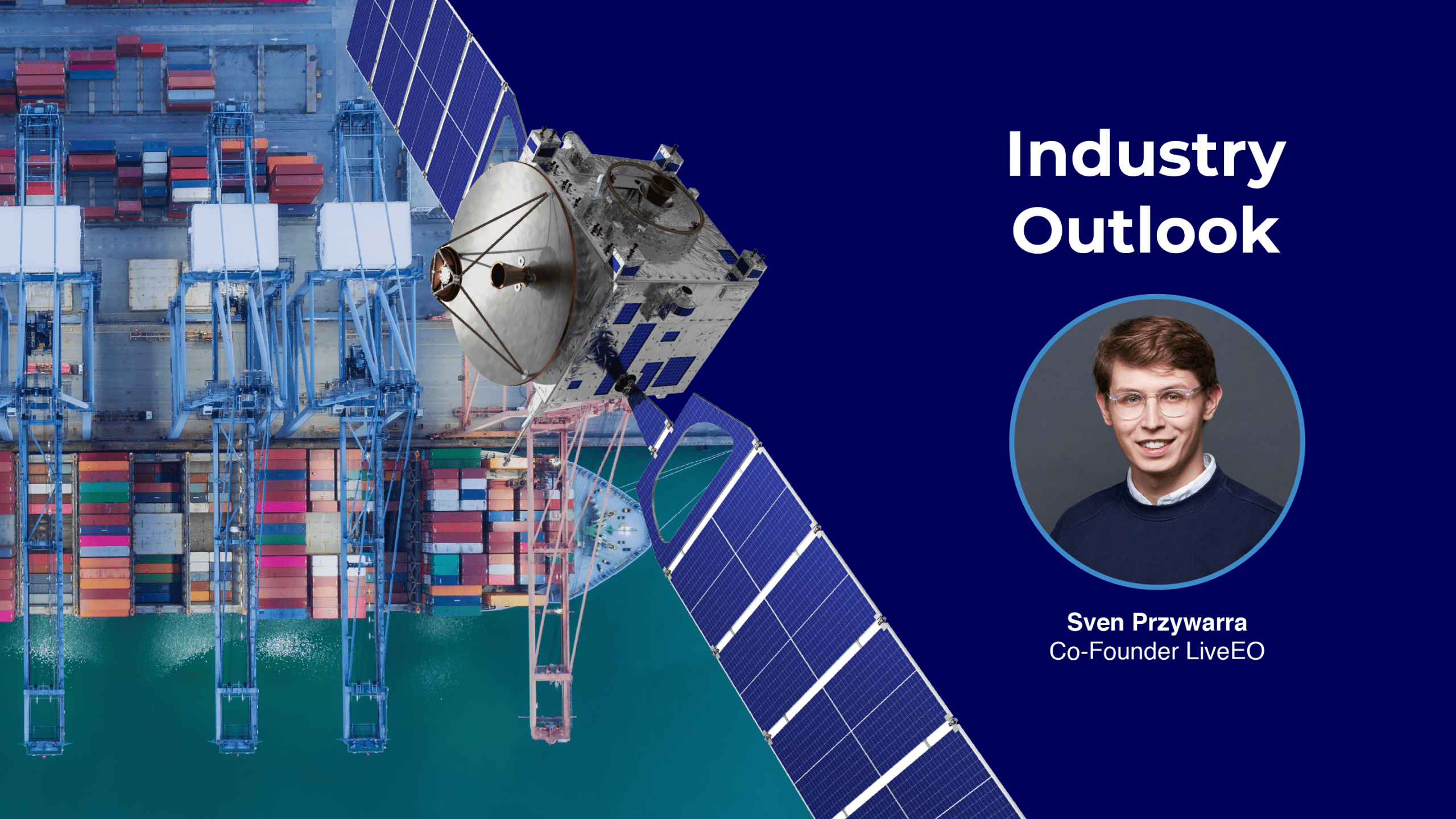
Every Fortune 500 company will use satellite data in five years


Office of Energy Infrastructure Safety, Director Caroline Thomas Jacobs
Hurricanes and Near Real Time Storm Damage Detection

Remote Sensing and Vegetation Management
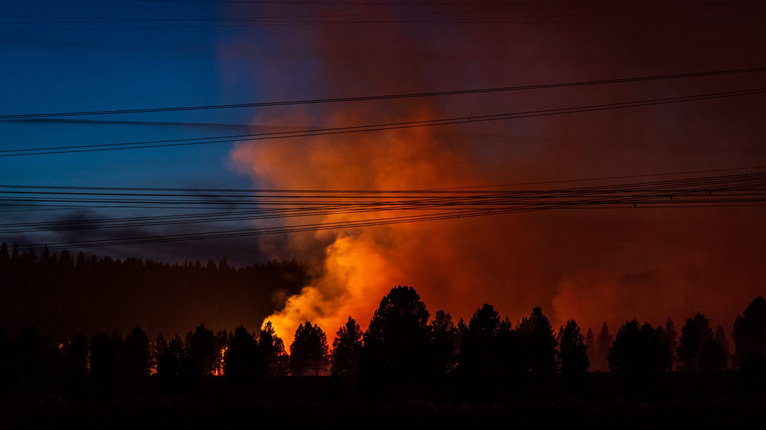
Post Wildfire Recovery with Satellite Analytics
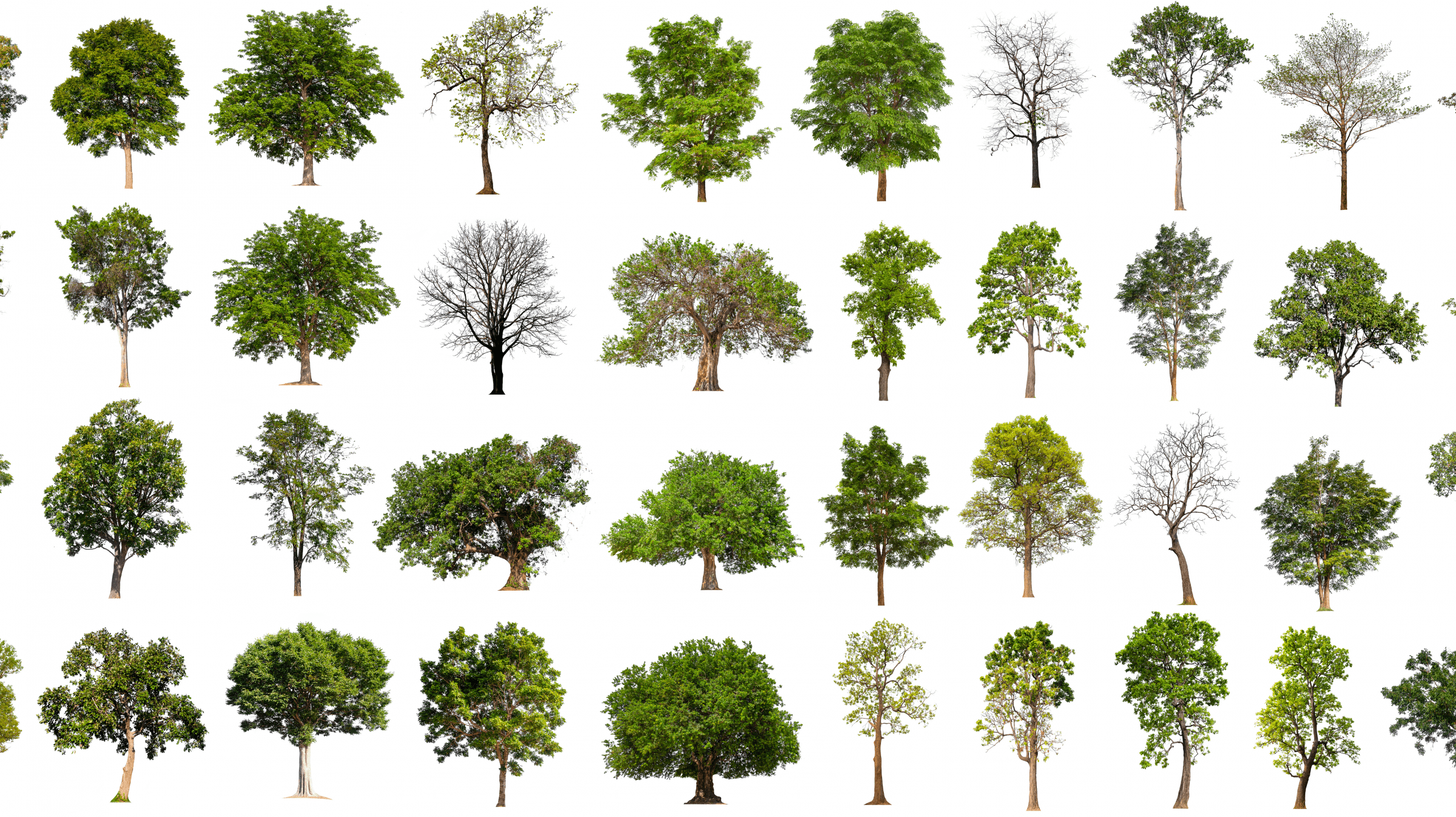
How do we identify Tree Species with Satellite Imagery?

Trusted by the Teams
That Face Risk Every Day
Our customers manage high-stakes operations across grids, corridors, and supply chains. Here’s how LiveEO supports their work.


“Partnering with LiveEO allows us to establish a platform for gathering information from our suppliers, validating it, storing it, and ultimately sharing it with our customers in a form that is easily submitted to the EU TRACES system. Reaching that decision was a milestone moment in the project.”


"The LiveEO technology gives us a better overview of the vegetation along our tracks. It allows us to address the consequences of climate change even better."


“Westerville Electric went with LiveEO and our outage rate in 2022 was 18%. We are now at 10%. This is the future of vegetation management!”